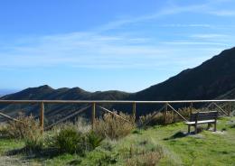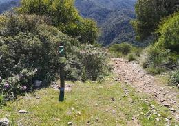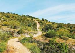
Typology: Short Route Trail Route: Circular Ascent difference: 1011 meters Type of terrain: Forest track and path with stony sections Recommended time: All year. Attention
-
Municipal Network of Trails
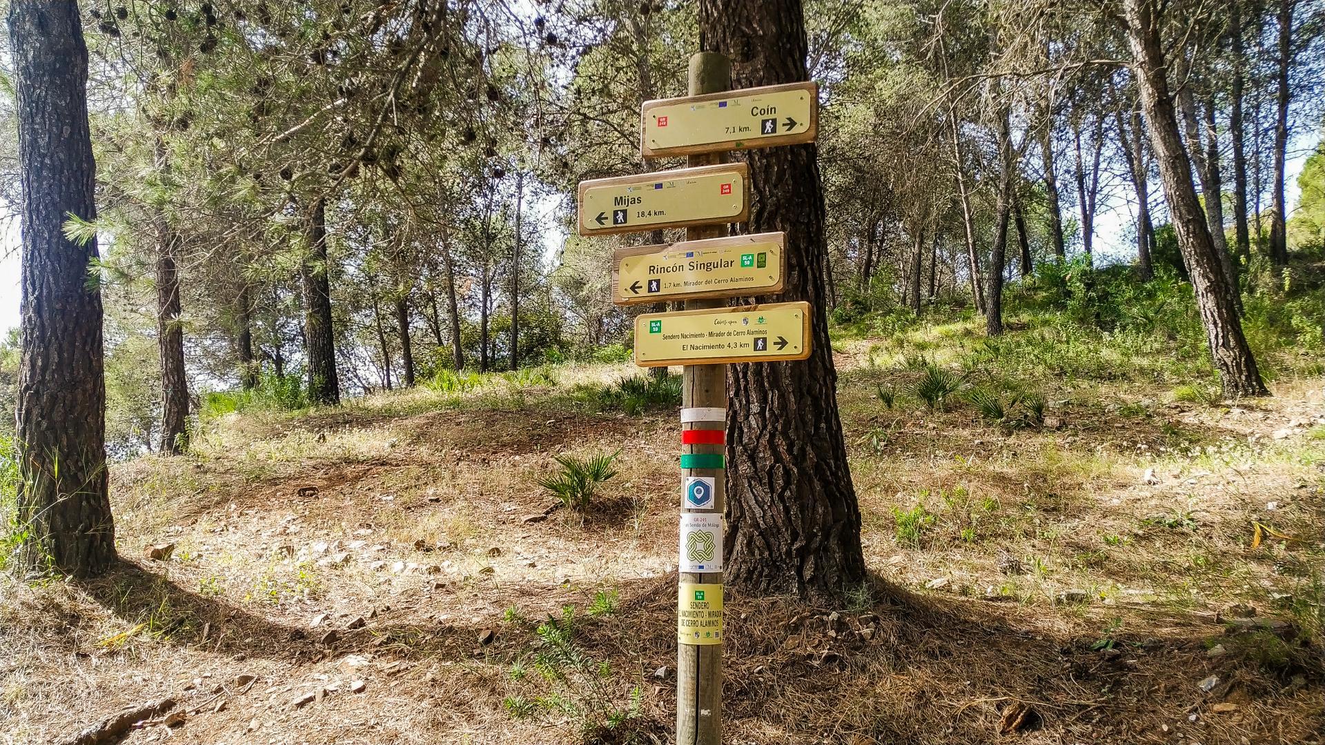
The COÍN MUNICIPAL NETWORK OF TRAILS is made up of a set of routes for public use intended for the practice of outdoor sports and knowledge of nature such as hiking, horse riding and mountain biking, inspired by the principles of sustainable development based on in the protection and conservation of natural values and resources and their regulated and orderly use.

El tiempo - Tutiempo.net